
ART-SIDES OF GEODESY
"The Surface of Earth" Engineering
The Timeline.
It's about everything that I've passed.
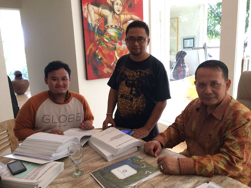
I’ve put together a carefully curated selection of my latest and most influential pieces. Read through the samples below and feel free to get in touch to learn more about me and to discuss any projects you may want to send my way.


Undergraduate Thesis (Study Case: Benoa Bay Reclamation)
September, 2017
It's about the final project of my bachelor degree. The background of my research is the Presidential Regulation No. 51 of 2014 that underlying the large project Reclamation of Benoa Bay. I analyzed the environtmental impact of Reclamation, especially in the sedimentation or the shallowing in Benoa Bay, Bali. The final results is a prediction of 3D Modelling simulation the sediment distribution when pre and post reclamation.


PT. PELINDO III Internship
July, 2016
PT. PELINDO III it's such a great place to learn about how geodesy is needed in a port management service operation. One example, for maintenance the sea depth of port terminal. We need do a hydrography surveying to know the sea depth that safe for boat / ship anchored.


PT. Pertamina (Persero) projects, in Terminal BBM Manggis, Bali
November, 2017
Coordinating survey and measurement of wave, sea currents, water and sediment sampling using Acoustic Doppler Current Profiler (ADCP) on the PT. Pertamina (Persero) projects, in Marketing Operation Region V Terminal BBM Manggis, Kab. Karangasem, Bali.


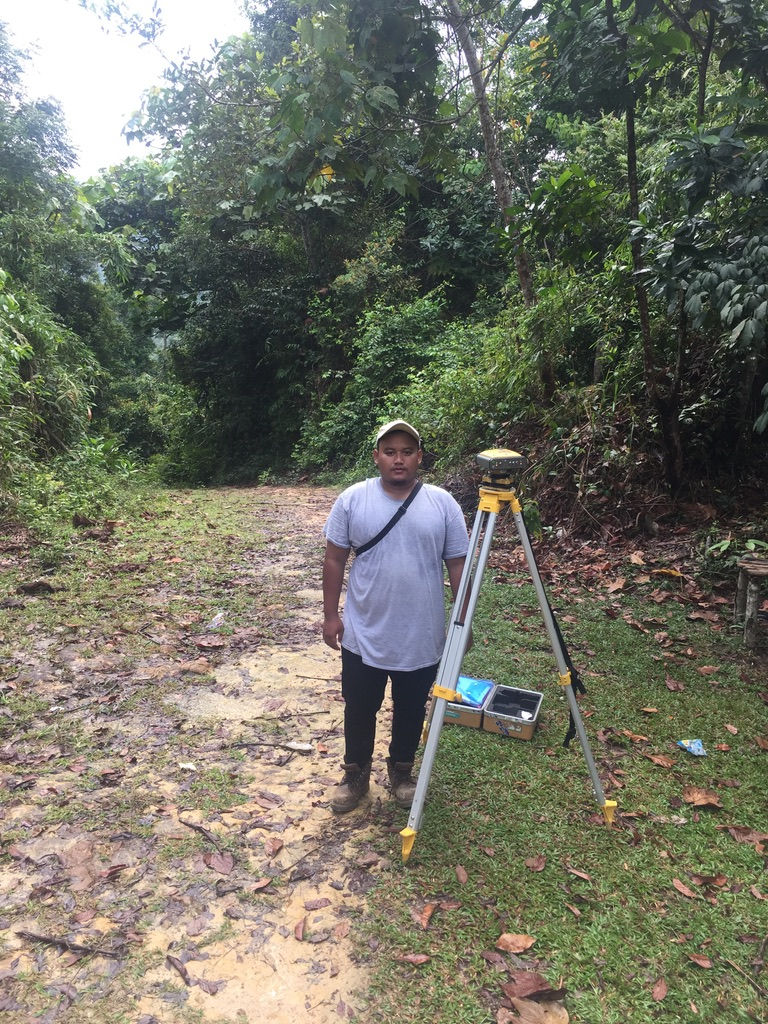


NIRAS International Consulting and PT. Serasi Kelola Alam projects in Province of Riau
December, 2017
Measurement of Ground Control Point and Independent Control Point (GCP & ICP) using GPS Geodetic for High Resolution Sattelite Imagery Orthorectification processing for Village Boundary Setting and Resources Mapping purposes on NIRAS International Consulting and PT. Serasi Kelola Alam projects in Province of Riau.


Survey and Mapping Staff in DPBT Pemkot Surabaya
2018-2021
Surveying lands and buildings assets of Pemerintah Kota Surabaya for mapping and updating spatial data information using Total Station, Geodetic GPS, and Drone.

"Not until we are lost do we begin to understand ourselves"